
Franklin Township Neighbor Sources
Franklin Township has discontinuous islands shaped by annexations, many surrounded by Columbus. A Columbus postal label therefore does not settle the local-record jurisdiction. For a question about nearby parcels, begin with the Franklin County Auditor Address Search and confirm the parcel’s township, tax-district, situs, and legal-description fields. The next source depends on the question. A parcel map can identify property geography, while a dated directory can show a historic listed occupant. Neither creates a complete roster of your neighbors.
| Source | What it shows about a block | Access boundary |
|---|---|---|
| Auditor Parcel Viewer | Parcels wholly or partly within a selected distance and a route to each property card | Shows property geography and parcel data, not a household list. |
| Auditor parcel card | Owner, mailing contact, situs, legal description, transfer, and tax facts per parcel | Mailing contact is not proof of occupancy. |
| Recorder and plat record | Recorded parties and subdivision lot or block chain | A document party is not every nearby resident. |
| Columbus Metropolitan Library reverse directory | Historic listed occupant by address in the 1911-and-later street section | Coverage is dated and limited by city corporate limits; occupant is not necessarily owner. |
| Individual voter lookup | A specific voter match when all statutory inputs are supplied | It is not a browse-by-block tool and omits protected registrations. |
| Township and civic meetings | Public contacts, agenda items, resolutions, and planning context | These are civic records, not resident or member directories. |
For an owner question, use the Auditor card and then the Recorder’s recorded-party trail. For a historical block question, use the address section of the correct annual directory. For a civic question, map the parcel to the appropriate township or commission boundary and use the published contact channel.
Buffering a Franklin Township Block
The Auditor Parcel Viewer has a documented way to turn one address into a limited nearby-parcel evidence set. Locate the subject parcel first. Then use its By Spatial option, enter a distance, apply the buffer, and choose parcels entirely within or partly within that distance. The map can return a results table, and its three-dot menu can export returned rows to CSV. That output remains a set of parcels, not a declaration of who all of your Franklin Township neighbors are.
- Find the address in the Auditor search and note the parcel ID, legal description, township field, and map link. The property card separates the physical situs from a tax mailing contact.
- Open the parcel in the Franklin County Auditor Parcel Viewer. Use Identify to open the relevant record and property-search link.
- Select By Spatial after the subject parcel is identified. Enter the distance, choose entirely or partly within the buffer, then retain that choice with the result date.
- Open only parcels tied to the address question. Preserve the owner, mailing, transfer, and legal-description labels instead of changing them into a resident label.
- For a full named-street record chain, use the Franklin Township street directory rather than extending a small buffer into a streetwide claim.
This parcel-buffer technique is the useful insider step for a block question. It is especially important in Franklin Township because postal-city wording can differ from the parcel’s township or tax information.
Franklin Township Neighbor Parcel Cards
Each returned parcel should be read as its own record. The Auditor property card can show the property address, owner mailing or contact address, parcel ID, legal description, tax district, township, transfer clues, and valuation fields. A trust, estate, entity, or multiple owners should remain labeled as such. These roles are evidence of a recorded property relationship, not proof of every person at the location.
When a parcel needs a recorded-title check, the Franklin County Official Records Search uses party names, grantor, grantee, date range, document number, book or page, and subdivision or freeform legal fields. It does not provide a simple street-address query on its quick screen. Use the parcel’s legal description or owner name to bridge the Auditor card to the Recorder index. Historic research may need the Recorder’s legacy 1804 through 1913 deed-index route or a counter inquiry.
Note: A parcel’s year-built field can be an estimate, so use deeds, maps, directories, and permits together when a historic block date matters.
A Map Is Not a Household List
The parcel map is often mistaken for a neighborhood roster. It is not. The supported Parcel Viewer result is an adjacent-parcel and property-interest list. It cannot establish renters, all household members, utility customers, delivery recipients, Safe at Home participants, or everyone who lives on a block. The same distinction applies to the Auditor card, Recorder document, and any mailing address shown in a tax record.
Franklin Township neighbors can also be hard to place because the Township is made up of geographically separate islands. A postal city may be Columbus, while the property card identifies Franklin Township. Check the actual parcel and jurisdiction field before assigning a local civic or government connection. The Board of Elections’ Franklin Township ward-map resources can help with administrative geography, not with identifying residents.
Franklin Township Neighbor Voter Limits
Ohio makes voter information available through an individual lookup, but it does not provide a public block roster. Franklin County’s voter-information search requires first name, last name, birth year, house number, and reCAPTCHA. ORC 3503.153 allows an individual result to show specified registration information, but not ballot choices. A same-name result at another address does not confirm the person connected to the parcel under review.
| Voter search field | Franklin County requirement |
|---|---|
| First Name | Required text, up to 30 characters. |
| Last Name | Required text, up to 40 characters. |
| Birth Year | Required four-digit year; the form validates a date not before January 1, 1900. |
| House Number | Required residence-number match, up to 50 characters. |
| reCAPTCHA | Required before the search can run. |
The Franklin County Board of Elections administers local election records and precinct contacts. ORC 3503.13 excludes protected voter data, including Safe at Home registrations. The statewide daily-data portal is an official delivery channel, not a reason to compile or target protected voters.
The Board of Elections home screen is shown at the official Franklin County election site.
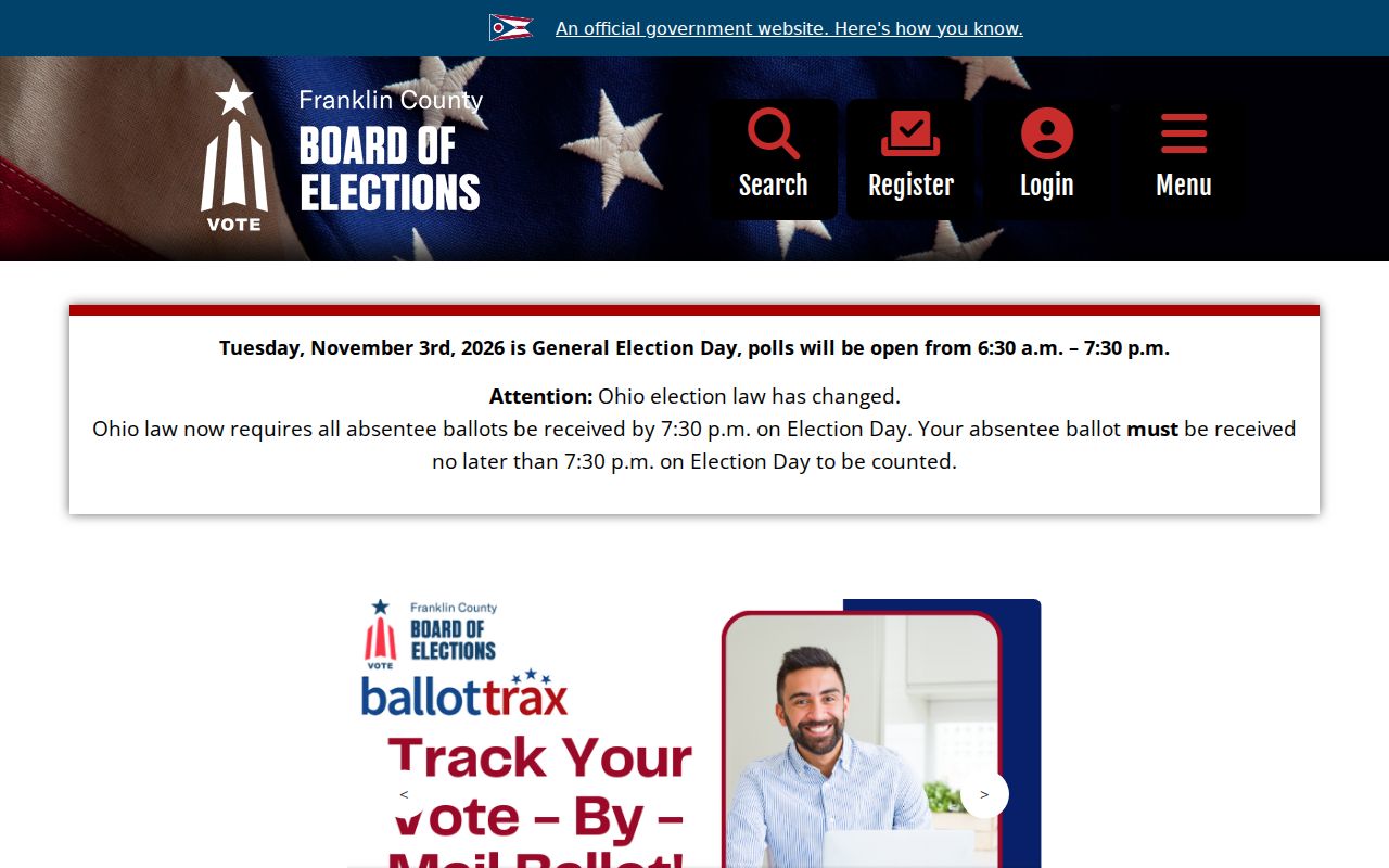
Use the Board to confirm a known individual record or a precinct question, never to turn a parcel buffer into a voter list.
Franklin Township Neighbor Records Requests
When no online record answers a narrow block question, start with the custodian and identify the document, address or parcel, date range, and preferred copy format. Ohio public-records rules do not require a requester to give a reason, though those details can help staff locate the right record. The Franklin County Sheriff public-records page lists the Sheriff’s request channel, including fcsopublicrecords@franklincountyohio.gov and 614-525-6096. It lists paper at 5 cents per page, accident reports at $4, CDs at $1, postage extra, and payment before release. Redactions and exemptions still apply.
The Sheriff’s public-records request page is shown at the official records channel.
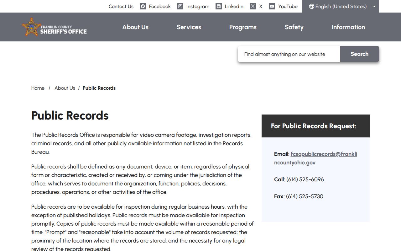
A request should seek a known public record, not ask staff to investigate presumed neighbors or assemble a private household list.
Franklin Township Civic Contacts
Community contacts can give a block its public context without becoming a directory of people. The official Columbus bulletin that attaches the Southwest Area Commission bylaws describes a defined boundary and says the Commission works with Franklin Township alongside City, County, and other jurisdictions. Its coverage does not reach every discontinuous Township island. No official Township-wide neighborhood-association, block-watch, congregation, or homeowner member roster was found in the research.
Southwest Area Commission
Use the official bylaws and boundary materials for civic or planning participation connected to a parcel inside the defined area. It is not a member directory.
Franklin Township Government
Township agendas, minutes, and resolutions provide public action and contact context, not a household roster.
Board of Elections Maps
Township ward maps help verify administrative geography before contacting a civic body.
The Township government page is displayed at the official Franklin Township source.
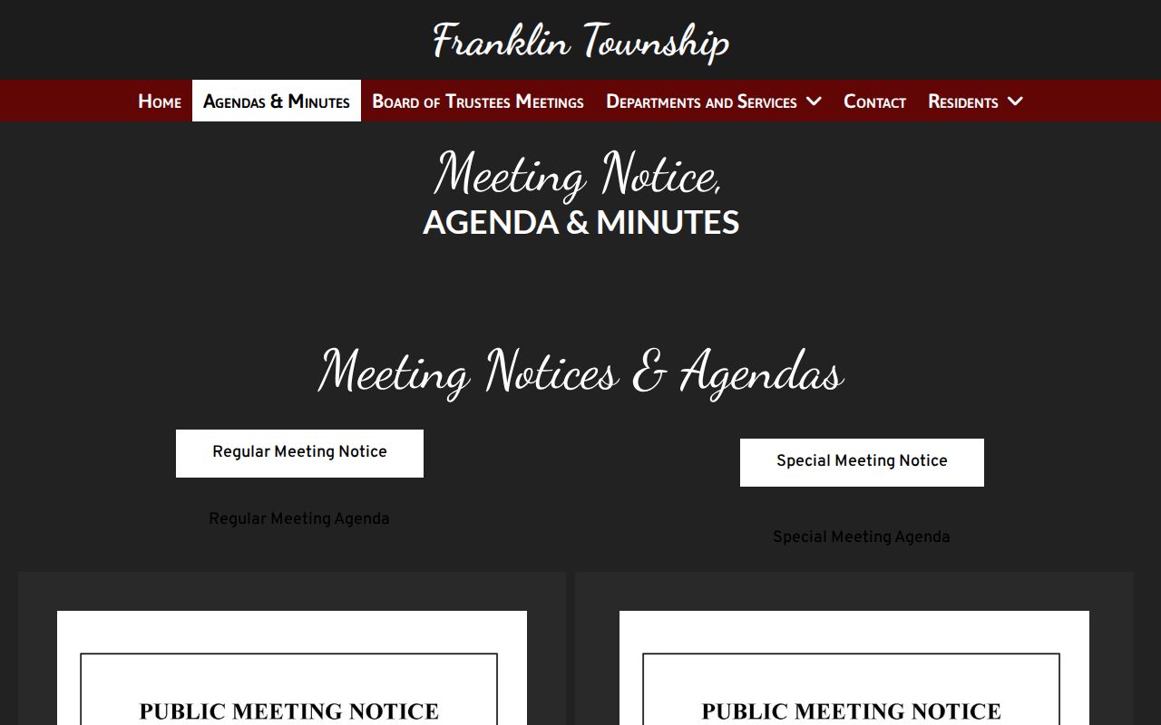
Public agendas and resolutions can explain a local issue or boundary question while keeping private association membership outside the record trail.
Historic Franklin Township Block Entries
For a past block, Columbus Metropolitan Library’s city directories are more useful than a current parcel map. Main Library holds Columbus directories back to 1841 and address sections beginning in 1911. Search the relevant annual street section, then compare nearby entries in that same volume. The result is a dated view of listed occupants and should not be turned into evidence of the present block.
The Library cautions that its directories cover Columbus corporate limits and list occupants rather than necessarily owners. That matters in Franklin Township, where historical corporate limits and current Township labels do not always align. Use the date, the old address wording, CML maps, and the parcel’s legal-description trail together. The Library house-history guide offers the suitable research path for an address over time.
Note: An annual directory sequence can show a change in listed occupant, but it cannot reveal a private current household or overcome protected-address rules.
Official and Commercial Neighbor Tools
Official records name the custodian, the field, and the access limit. Commercial neighbor-search categories may combine public and commercial inputs, but their profiles can be stale, merged, or mismatched. Use the official parcel, Recorder, voter, library, or civic source as the verification path. A commercial profile is not a substitute for a dated primary record, and it should never be used to fill a protected or missing household field.
| Official record route | Unlinked commercial category |
|---|---|
| Shows the named custodian, the date, and the record role such as owner, party, or listed occupant. | May merge records from different times and people without showing a reliable source trail. |
| Lets a reader ask the office for a specific source record or correction. | May leave an unclear profile with no direct way to validate the underlying claim. |
| Preserves statutory exclusions and Safe at Home protections. | Must not be used to infer protected, private, or missing address information. |
For an inaccurate commercial profile, use that publisher’s stated privacy or correction procedure and retain the confirmation. For an official data error, contact the official custodian that owns the field instead.
Franklin Township Neighbor Privacy
Nearby parcel ownership can be public, but private household composition, utility accounts, delivery relationships, confidential program addresses, and private association membership are not outputs of a Franklin Township neighbor lookup. Ohio Safe at Home provides a substitute-address process for qualifying survivors. ORC 111.43 and the voter protections in ORC 3503.13 must be respected. A protected address cannot be reconstructed by comparing a voter record with parcel, school, or utility information.
Lawful use. Use Franklin Township neighbor records for personal, lawful research, civic transparency, family history, or property curiosity. ORC 2903.211 and ORC 2917.21 address stalking and telecommunications harassment; do not use public information to watch, harass, or intimidate anyone.
Ohio Public Records Act access under ORC 149.43 still permits exemptions and redactions. If a public record seems incomplete, identify the custodian and the record boundary rather than trying to fill the gap with a profile or an assumption. The correct result may simply be that no public household record exists.