
Walk a Franklin Township Street
Use the Franklin Township street directory as a sequence of checks, not as a list of every person on a road. The Township is made up of islands created by annexations, so a Columbus mailing label does not settle the parcel's government geography. The Franklin County Auditor is the first stop because an address result can expose the parcel number, situs, legal description, tax district, and Township field. Those identifiers give the next records a stable anchor when street spelling, postal styling, or jurisdiction changes.
- Enter the house number, direction, bare street name, and unit when known in the Auditor address search. For a whole street or uncertain spelling, use its documented asterisk wildcard.
- Open the matching parcel card and record the parcel ID, situs, legal description, current owner field, transfer clue, tax district, and Township label. Keep owner mailing contact separate from the situs.
- Open the parcel in the Auditor Parcel Viewer. Map selection and the property-search link help confirm the precise parcel before comparing nearby lots.
- For a recorded ownership question, search the Recorder by the property owner, current grantor or grantee, document number, subdivision, or legal description. The legal description is often more durable than a street address.
- For a person already tied to a specific address, use the individual voter lookup only with its required information. For a past occupant, test the Columbus Metropolitan Library street-address directory section where its city coverage applies.
That order prevents a common error: treating a parcel owner, a tax-contact address, a deed party, and a household member as the same role. Each is evidence from a different record system.
Franklin Township Street Record Types
Several address-keyed sources can support a Franklin Township street directory search, but each answers a narrow question. Parcel records identify property and recorded owner fields. Maps show parcel geography. Deeds establish recorded interests and legal descriptions. Older directories can name a listed occupant at an address. Voter information is an individual confirmation route, not a street-browsing tool. Use the source label when taking notes so the result does not become a broader claim than the record allows.
| Address record | Custodian | Useful street evidence | Access boundary |
|---|---|---|---|
| Property roll | Franklin County Auditor | Parcel, situs, owner field, mailing contact, tax district, legal description | Address, owner, parcel, map, and intersection routes; owner is not every resident |
| Parcel Viewer | Auditor GIS | Mapped parcel, nearby parcel context, layers, and property-search route | Value, shape, and distance tools show parcels, not households |
| Recorded instruments | Franklin County Recorder | Grantor, grantee, document date and type, legal or subdivision clues | Historic documents may not have a usable street-address field |
| City directories | Columbus Metropolitan Library | Annual listed occupant and 1911-and-later address-section lead | Coverage follows applicable Columbus directory limits; occupant is not necessarily owner |
| Permit or zoning file | Township or County custodian | Project, address, parcel, and filing role | Use a focused request; no public issued-permit address archive was found |
| Voter information | Franklin County Board of Elections | Specific person's registration and residence information where lawfully displayed | Requires individual criteria and excludes confidential registrations |
When the goal changes from a street to an older household, the historical collections on the Franklin Township city directories page provide the fuller library route. A modern parcel search should still supply the address and legal-description bridge first.
Search Franklin Township Addresses
The Franklin County Auditor address search has a precise street format. Do not enter a street suffix such as Road or Avenue. The page accepts an optional street number, direction, bare street name, and unit. Its wildcard can find uncertain spellings or a street pattern. The system may return up to 500 results when it lacks an exact match, which is a reason to narrow by direction and number rather than treating the result set as a complete residential roster.
| Address-search field | Input | Captured Franklin County use |
|---|---|---|
| Street No | Optional text | Enter the house number when it is known. |
| Direction | Optional list | Blank, E, N, NE, NW, S, SW, or W. |
| Street Name | Optional text | Use the bare name only. Do not append a suffix. |
| Unit | Optional text | Add it when it is part of the address being checked. |
| Sort and results | Lists | Sort by parcel ID, address, unit, owner, or legal; display 15, 25, or 50 results per page. |
| Wildcard | Asterisk | *High looks for streets named High; S *High narrows to South High results. |
The screen also links to owner-name, parcel-ID, subdivision and condo, advanced, map, and intersection methods. The owner route uses last name first and allows partial names, but it is a property-interest search rather than a Franklin Township street directory of occupants.
See the official Auditor address screen before entering the street. The captured search form shows why a suffix-free street name is important for this lookup.
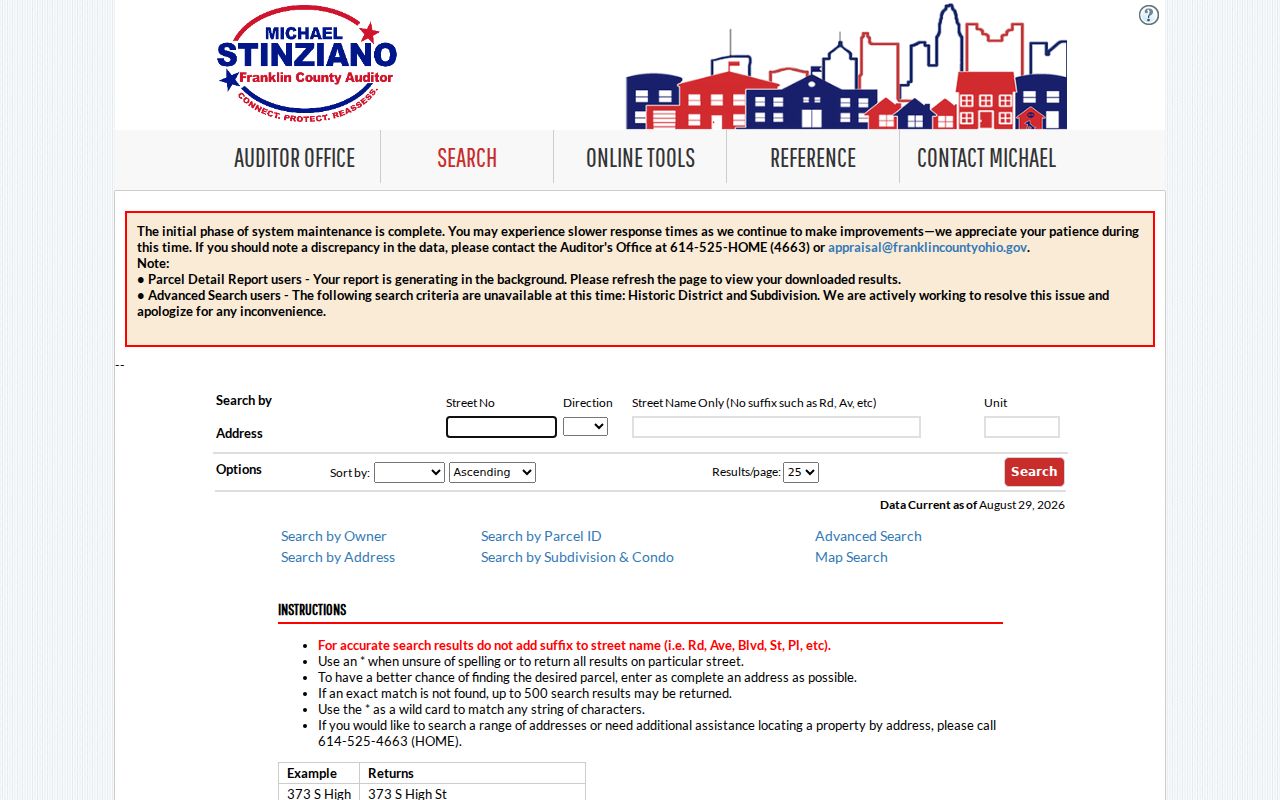
The results should be read parcel by parcel. A broad wildcard result gives locations to verify, not a statement about everyone who lives along the road.
Map Franklin Township Street Parcels
The Parcel Viewer turns a Franklin Township street search into a map-based property check. The documentation describes search by value, drawn shape, and distance. After identifying a subject parcel, the By Spatial tool can apply a buffer and return parcels wholly or partly within the chosen distance. Its result table can be exported to CSV. That is useful for reviewing a small, defined set of parcels around an address, while keeping the result framed as property geography and recorded interests rather than a household list.
An official Auditor Parcel Viewer capture shows the map route used to move from a selected parcel back to fuller property data.
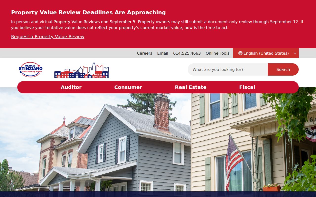
Use the property-search link after selection, then compare the parcel ID and legal description with the address-search result. The map can clarify a boundary or adjacent lot without identifying private household members.
Franklin Township Street Labels
Franklin Township is not one continuous postal place. Its own description says the Township has many small islands created by municipal annexations, usually surrounded by Columbus. That makes an address label a starting point, not a jurisdiction ruling. A property card that says Franklin TWP and a tax district can be more useful for a records search than the city shown on an envelope. The Board of Elections map is another practical geographic check when a street sits near an island edge.
Use Franklin Township's resident information to distinguish local service questions from County property and title records. The Township handles its own board records, public-record requests, police-report copy guidance, and commercial-building information, but it does not replace the County Auditor or Recorder for parcel and deed evidence.
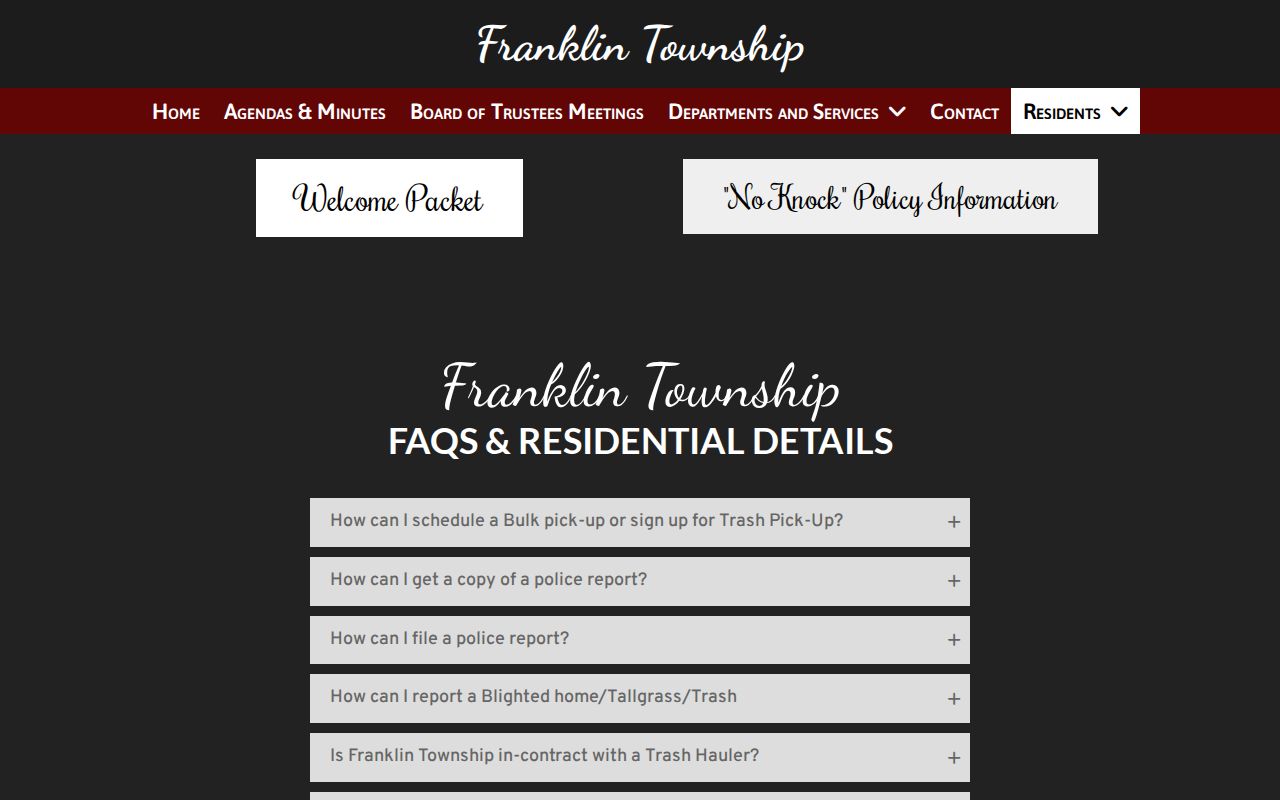
This local guidance is most useful after the parcel check has established the address context. It helps direct a focused records request to the right custodian rather than assuming one office owns every street record.
Trace Franklin Township Street Deeds
A Recorder search does not begin with a simple street-address box. Move from the Auditor result to the owner name, transfer clue, parcel ID, subdivision, and legal description. The Recorder's quick search accepts a search term and optional recorded-date range. Its indexed mode searches indexed information, while its Index and Full Text OCR mode searches document contents as a phrase. In advanced search, party name, grantor, grantee, document number, book or page, subdivision legal, and freeform legal fields provide the useful bridges.
For a backward title trail, identify the current grantee, read the prior grantor, then look for that grantor's earlier acquisition as a grantee. Keep the legal description constant. Franklin County deed books reach back to 1803, and the Recorder's historic route points researchers to the 1804 to 1888 grantee deed index. Older research may need the counter, legacy indexes, or library help instead of a search for a present-day street label.
The Franklin County Recorder provides the office route for recorded real-property documents and official-search support.
A deed party establishes a recorded role in that instrument. It does not, by itself, prove current occupancy at the street address.
Franklin Township Address Terms
Four labels recur in the street records and should not be blended together. A parcel is the county's identified property unit. A situs is the physical property address used by the Auditor. A plat is a recorded subdivision map that can connect a lot and block to the street. A criss-cross directory is the address-arranged part of a directory, useful for a dated occupant lead. These terms make it possible to write down what the record actually says before moving to the next source.
- Parcel
- A county property unit linked to a parcel ID, map position, and real-property record.
- Situs address
- The physical property address on the Auditor record. It is different from an owner's mailing or tax-contact address.
- Plat
- A recorded subdivision or lot map that can help bridge a street address to its legal description.
- Criss-cross directory
- An address-arranged directory section. In the local collections, 1911 and later sections can provide a dated listed-occupant lead where coverage applies.
Note: The legal description and parcel ID are stronger bridges than a postal label when a road appears under different map or jurisdiction contexts.
Franklin Township Street Permit Requests
Address-based permit material exists, but it is not a public street-by-street directory. Franklin Township's Building Department handles commercial and nonresidential work under its stated Ohio Building Code authority. The Township routes residential one-, two-, and three-family permit work to Franklin County, and County zoning serves Franklin Township. A permit form can name an owner, applicant, contractor, or design professional. That filing role is project evidence, not proof of who occupies the address.
No official public address-search archive of issued Township or County permits was located. A focused request should name the address or parcel, project type, and time period. Franklin County's building and planning channels are the documented fallback for a County-side permit or zoning file.
Franklin Township Historic Streets
For an older Franklin Township street question, use the library's dated sources as a companion to the parcel and Recorder chain. Columbus Metropolitan Library holds Columbus city directories from 1841 forward and street-address sections from 1911. The address section can point to a listed occupant, but the Library cautions that the entry may be an occupant rather than an owner. Directory coverage follows Columbus corporate limits, which matters for Township islands and historic annexation changes.
CML's House History guidance also points to historic maps, property atlases, census work, deeds, and directories. Its warning about an Auditor year-built value before 1920 is especially useful: that field is often an estimate. Test an early construction date against transfers, map evidence, directory entries, permits, and census material instead of repeating it as settled fact.
Franklin Township Street Directory Limits
A Franklin Township street directory cannot identify every household member, utility customer, delivery recipient, or protected voter at an address. The Auditor and GIS tools show parcels and property data. The Recorder shows recorded parties and instruments. Ohio's individual voter search is intentionally not a browse-by-street tool; it requires first name, last name, birth year, house number, and a reCAPTCHA. A no-match or omitted field may reflect a protected record, a changed record, incomplete digitization, or a source that never captured that fact.
Safe at Home participants can use a designated address in government records, and protected voter information is excluded from ordinary public release. A parcel map or surrounding records should never be used to infer a confidential location.
Franklin Township Records Fallback
When an online result is unclear, contact the record custodian with a narrow request. The Recorder counter is at 373 South High Street, 18th Floor, and its published hours are 8 a.m. to 4 p.m., with recording stopping at 3:45 p.m. Call 614-525-3930 for Recorder availability questions, 614-525-4663 for Auditor address-range help, or 614-525-3600 for CIO assistance when a court file is the actual target. A request under Ohio Public Records Act, ORC 149.43, should identify the record type, dates, address or parcel, and desired inspection or copy format.
County counters, the library, and the historic deed-index route are often the right next steps for an older or ambiguous street record. Ask for a particular document or series, not for staff to assemble a list of people.