
Franklin Township ZIP Code Areas
Four Census ZCTAs intersect the Franklin Township county subdivision: 43123, 43204, 43223, and 43228. That is a geographic intersection, not a claim that a whole ZIP belongs to the Township. The Census relationship file ties each ZCTA to Franklin Township CSD 3904928280, while the Census Bureau cautions that ZCTAs are approximations built from ZIP-related geography. Delivery ZIPs must still be checked at the complete-address level. This distinction is the starting point for an accurate Franklin Township ZIP code directory search.
| ZIP / intersecting ZCTA | Census area evidence | Post-office evidence | Directory research note |
|---|---|---|---|
| 43123 | Intersects Franklin Township county subdivision | USPS identifies Grove City PO as 43123 | An intersection does not place every 43123 address in Franklin Township. |
| 43204 | Intersects Franklin Township county subdivision | No official single station or post-office page was verified in the research | Use exact-address USPS lookup rather than assigning a Township boundary to this ZIP. |
| 43223 | Intersects Franklin Township county subdivision | The Township office uses a Columbus 43223 mailing address | Useful Township-office context, not a complete Township footprint. |
| 43228 | Intersects Franklin Township county subdivision | USPS Westland support facility uses 43228 | Support-facility evidence does not establish a unique post office for every island address. |
The Census ZCTA-to-county-subdivision relationship file is the source for the four intersections.
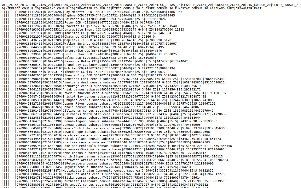
The crosswalk supports a geographic starting point. It should be paired with an address-level delivery check before using a ZIP code in a parcel or records search.
Franklin Township ZCTA Myth
A ZCTA is not a USPS delivery boundary. The Census creates ZCTAs to approximate ZIP Code service areas for statistical geography; the Postal Service assigns delivery ZIPs for mail routing. The two systems can overlap, but they serve different purposes. Saying a ZCTA touches Franklin Township is accurate. Saying that every address with that ZIP is inside the Township, or that the ZIP determines a local government office, is not.
Read the Census explanation of ZCTAs before treating a Census area as a delivery map. The explanation supports the limited use of the four-ZCTA table.
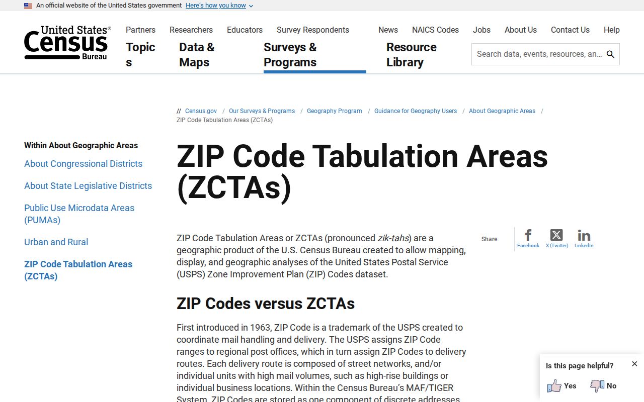
The practical result is simple: use Census geography to understand overlap, then use USPS to verify mail delivery and County fields to verify the parcel's government geography.
Verify a Franklin Township ZIP Code
Use a ZIP code as an exact-address workflow, not as a broad resident filter. The Township's islanded geography makes an address-level check more reliable than a generic search for a Township ZIP. Each step creates a different kind of evidence: the postal result establishes delivery formatting, the parcel card establishes county property identity, and the Recorder connects the parcel to recorded real-property documents.
- Check the address against the Board of Elections Franklin Township map or an Auditor parcel result to see whether it lies in a Township island.
- Enter the complete address in USPS ZIP Code Lookup and keep the returned delivery ZIP and preferred mailing format with the research notes.
- Open the Auditor address result and record the situs, parcel ID, legal description, ZIP, tax district, and Township field.
- For a recorded-document question, use the legal or subdivision information in the Recorder search. For an older address question, use maps and directories without forcing the modern delivery ZIP onto the historic source.
Use the USPS ZIP Code Lookup for the delivery step. It confirms mailing service, not taxing, zoning, court, or Township jurisdiction.
A returned postal format is a strong delivery check. It still needs the Auditor parcel fields before it becomes a government-geography conclusion.
Franklin Township ZIP Search Limits
Franklin County Auditor's regular address search is not a ZIP-wide owner or resident filter. It accepts street number, direction, bare street name, and unit, then displays ZIP on a parcel result. The separate Intersection Search accepts one intersection string and requires city and or ZIP, with separators such as ampersand, AND, at sign, or AT. That is a locator feature. It cannot produce everyone in a ZIP code, and it should not be presented as one.
| ZIP-related search capability | What to enter | What it can establish |
|---|---|---|
| USPS ZIP Code Lookup | Complete delivery address | Delivery ZIP and preferred mailing format for that address. |
| Auditor address search | Number, direction, bare street name, and optional unit | Matching parcel and property-card ZIP, situs, tax district, and Township fields. |
| Auditor Intersection Search | One intersection plus city and or ZIP; use &, AND, @, or AT | Address geography to begin a parcel lookup, not a ZIP-wide people list. |
| Individual voter lookup | Known first name, last name, birth year, house number, and reCAPTCHA | A specific statutory voter-information check, not browsing by ZIP or block. |
The state and County voter channels are person-specific. The Franklin County search requires the four displayed identifiers, and the official daily voter-data service is organized by county and election delivery. Neither is a reason to create a ZIP-wide list or to seek protected registrations.
Franklin Township ZIP Geography
The Census county-subdivision profile identifies Franklin Township as GEOID 3904928280, with 11,502 residents in 2020 and about 6.9 square miles of land. The important records fact is its shape, not just the total. The Township is discontinuous because of annexations and is generally surrounded by Columbus. The Board of Elections map provides a useful local visual check of the separate areas before a ZIP or postal-city label is used to infer a records custodian.
The Census Franklin Township county-subdivision profile documents the geographic profile used for this ZIP code directory.
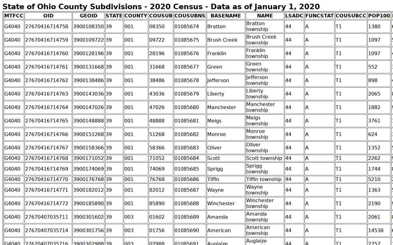
For a street near a boundary, the profile and the official Township map are context tools. The parcel card remains the County source for the particular site's tax district, situs, and Township field.
Franklin Township ZIP Code Terms
A delivery ZIP, a Census ZCTA, and a parcel record use different identifiers. Keeping the words straight prevents a ZIP code result from being used as a claim about ownership, a Township boundary, or occupancy. The Franklin County Auditor separates the property situs from the owner mailing or tax-contact address, while the Recorder relies on legal descriptions and subdivision information to connect recorded instruments.
- ZIP Code and ZIP+4
- A ZIP Code routes mail to a delivery area. ZIP+4 adds a more precise mail-routing segment; neither is a parcel boundary or ownership record.
- PO-box ZIP
- A ZIP used for post-office-box delivery. It does not show that a physical address, parcel, or Township island shares that delivery area.
- Unique ZIP
- A ZIP assigned for a specific institution or large recipient. No verified unique Franklin Township ZIP was located in the research.
- Carrier route
- A postal delivery sequence within an area. It is not a public roster of the people at addresses on that route.
- Situs and mailing address
- The situs is the physical property address. A mailing address is the tax-correspondence contact and may be elsewhere.
Note: A legal description or parcel ID can bridge property records across a postal or mapping change more reliably than a delivery ZIP alone.
Historic Franklin Township ZIP Evidence
No verified ZIP realignment or ZIP-split year affecting Franklin Township was found in the official research. The documented historic issue is instead annexation and changing corporate-limit context. A historic Columbus directory or map may describe a place differently from a present Township parcel. Record the source date and the jurisdiction it describes, then connect the address through its parcel ID, legal description, subdivision plat, deed chain, or period map.
Columbus Metropolitan Library's House History guidance explains the local directory, deed, and map route. Its 1911-and-later street-address directory sections can supply an occupant lead where the volume's Columbus coverage includes the address. The Library cautions that an occupant is not necessarily the owner. Historic maps and property atlases can add street or building context, but the Recorder's legal-description route is the stronger link to recorded ownership.
Franklin Township ZIP Code Boundaries
ZIP boundaries do not match Township limits, city limits, or every service jurisdiction. The Township's own office uses a Columbus 43223 mailing address, even though the Township has separated islands. That example makes the point without turning any one ZIP into a Township-wide label. For any address, identify the postal ZIP through USPS, then read the Auditor's Township and tax-district fields. Use the legal description for recorded-title research.
Once a ZIP has narrowed the address question to a particular road, use the Franklin Township street directory route for the full address-to-parcel and deed workflow. ZIP evidence should remain one step in that process, not a substitute for it.
Franklin Township ZIP Records Fallback
If a delivery or parcel result conflicts, preserve the exact address, the date checked, and the differing labels. Start with USPS for delivery format, then contact the Franklin County Auditor for the parcel field that needs explanation. For a deed or recorded-instrument question, use the Franklin County Recorder's Official Records Search or ask the Recorder for the particular document series. A narrow Ohio Public Records Act request under ORC 149.43 should name the record, address or parcel, date range, and desired inspection or copy format.
Do not try to solve a parcel or jurisdiction mismatch by inventing a ZIP history. The documented local answer is to verify postal delivery, parcel geography, and recorded-property identity separately.